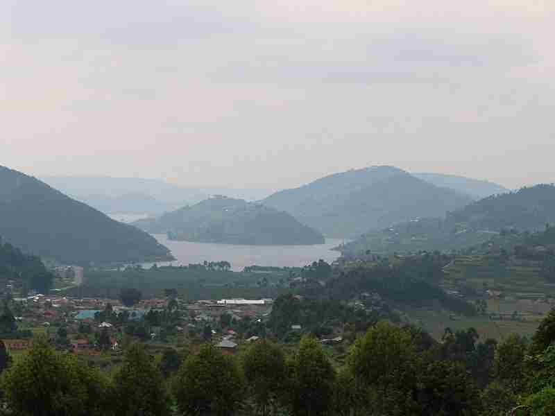
The landscapes of Central Africa are most often wide plateaus, which are smooth in the central part and etched at the periphery. The interior basin of the Congo River is joined to the Atlantic Ocean by a narrow neck traversing ridges parallel to the coast. The basin contains some marshlands in the region where the Congo, Ubangi, Likouala, and Sangha rivers converge and where Lakes Mai-Ndombe and Tumba are found. Its major part, however, consists of drier surfaces (low plateaus or alluvial terraces). Higher plateaus, which extend through older sedimentary strata around the centre of the Congo basin, reach an elevation of 2,600 to 3,000 feet (790 to 900 metres) north of Brazzaville and exceed 3,000 feet near the Angolan border to the south. In the north a low divide (2,000–2,300 feet [610–700 metres]) separates the Congo River and its tributaries from the Chad basin. The landscape beyond the divide descends by steps toward Lake Chad. Southwest and south of the Chaillu Massif (3,000–3,300 feet [900–1,005 metres]) in Gabon and Congo (Brazzaville) are ridges, traversed through deep and narrow gorges by the Kouilou and Congo. East of this complex the Congo River has eroded a broad basin, known as Malebo Pool, into the upper sedimentary strata before cutting rapids farther downstream.
The most rugged terrain lies on the eastern fringe of the Congo basin. North of Lake Kivu and of Rwanda, the Virunga volcanoes form an east-west–trending range. The highest point in Central Africa, Margherita Peak (16,795 feet [5,119 metres]), whose summit bears residual features of glaciation, is located on the eastern fringe of the Rift Valley on the border of Congo (Kinshasa) and Uganda.

